CAISAR Ready · Free Emergency Guide
Be Ready for What Could Happen Where You Live
CAISAR Ready is a free emergency guide made for your address. Enter your address and who lives with you, and get your top local risks, what to do in the first 10 minutes, the help nearby, and checklists sized to your household. Print it, or keep a private link that always shows current data.
Free, no sign-up. US addresses for now. Nothing is stored unless you choose to save your guide.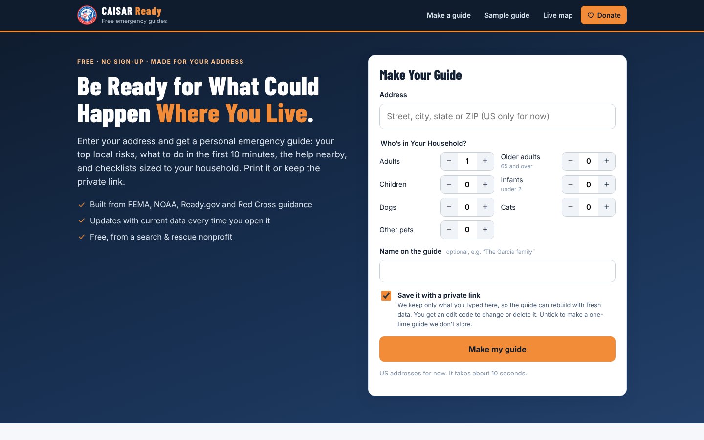
What's in Your Guide
Everything You Need, in the Order You Need It
Your Local Risks
Ranked for your census tract with FEMA’s National Risk Index: wildfire, earthquake, flood, heat, storms and more.
The First 10 Minutes
What to do the moment a warning comes, for each risk where you live, plus when to leave or call 911.
Your Location
Flood zone, fire hazard zone, earthquake shaking and nearest fault, liquefaction zones, and nearby dams, chemical facilities and rail lines.
Help Nearby
The closest hospitals (with trauma levels), fire and police stations, and shelters.
Who to Call
State emergency management, county alert sign-ups, FEMA, the Red Cross, and how to turn on emergency alerts on your phone.
Kits for Your Household
Go-bag, home, car and first-aid checklists, with amounts worked out for your family and pets.
Radio When Phones Are Down
Your NOAA Weather Radio station and alert code, FRS/GMRS channels, local public-safety frequencies and a family radio plan.
Threats Anywhere
Power outages, chemical spills, nuclear and radiological emergencies, attacks in public places, pandemics and more.
Print It, Keep It
Save it as a PDF, or keep a private link that rebuilds with current data each time you open it.
Inside a Guide
Clear Steps, Built From Official Sources
Advice follows FEMA, Ready.gov, NOAA, the CDC and the American Red Cross. Local details come from FEMA, CAL FIRE, USGS, NOAA and OpenStreetMap, looked up for your address.
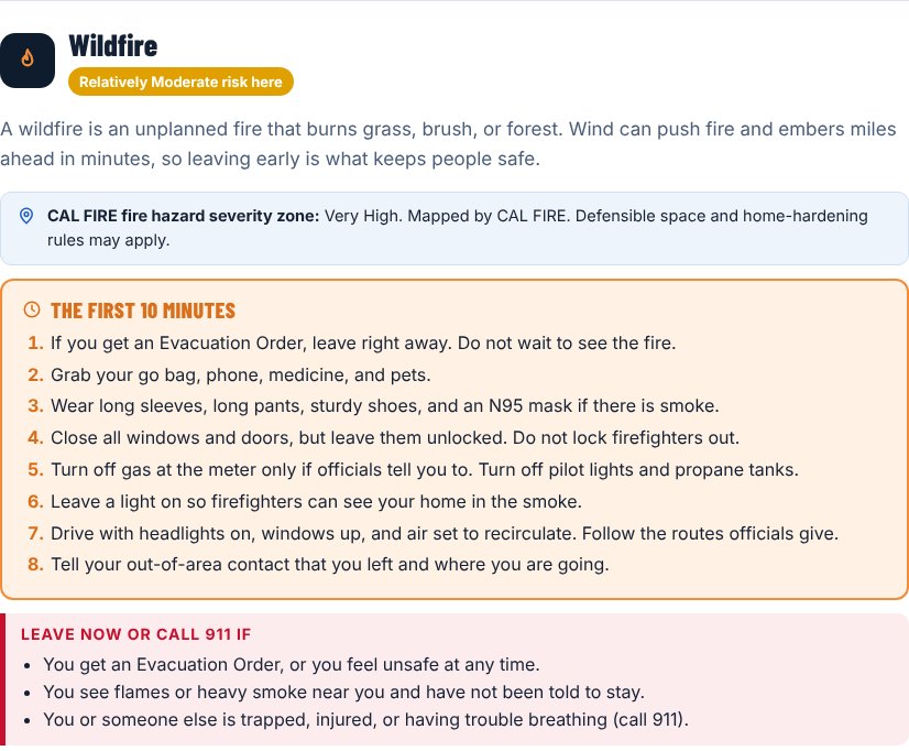
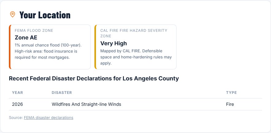
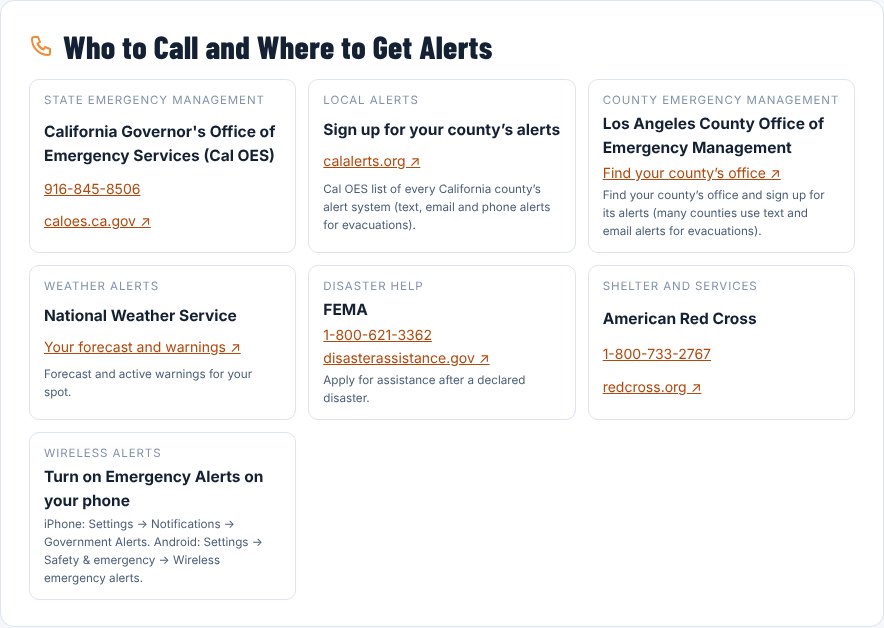
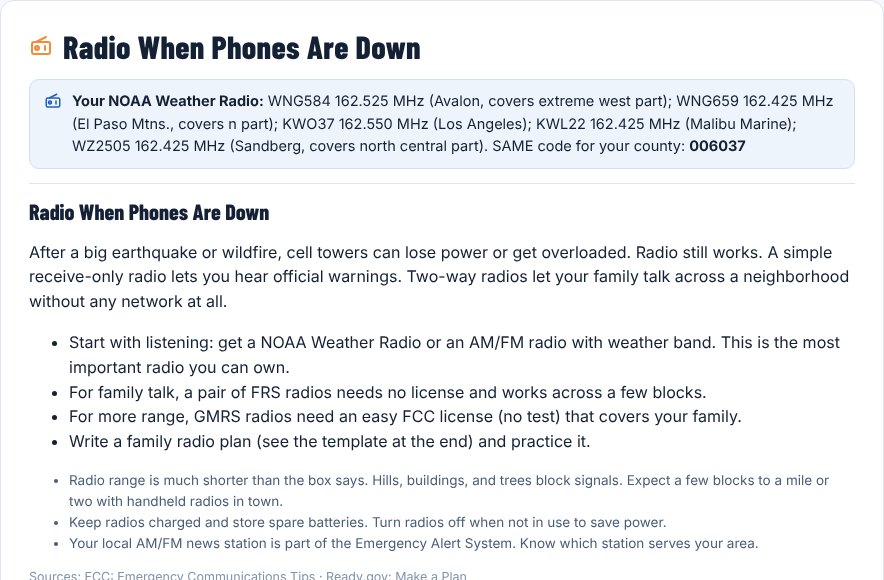
From a sample guide for a Santa Clarita address. Every guide is built for its own address.
Coming Soon
More on the Way
CAISAR Ready is new, and we're adding to it. Next up:
- Extra addresses — school, work, family — with meeting points and routes between them
- Wallet cards and kids’ cards with the numbers and places that matter
- Email and text alerts when a warning is issued for your saved address
- A Spanish edition
Make Your Guide in a Minute
Enter your address and who lives with you. Your guide is ready in about 10 seconds — free, from a search & rescue nonprofit.
Questions or ideas for the guide? Get in Touch.