Support for SAR Teams
Services and resources for search & rescue teams and government agencies — extra trained hands, equipment and know-how when a mission outgrows one team.
How We Can Help →501(c)(3) Nonprofit · California
We provide people, resources and tools to search & rescue teams and government agencies during life-saving missions — at home in California and on out-of-state disasters.
What We Do
Services and resources for search & rescue teams and government agencies — extra trained hands, equipment and know-how when a mission outgrows one team.
How We Can Help →A combined team drawn from members of several agencies, organized to deploy to out-of-state disasters as one unit under the incident command system.
Request Support →Callout, roster and team-management software built by working SAR members — soon available to other search & rescue teams.
See the App →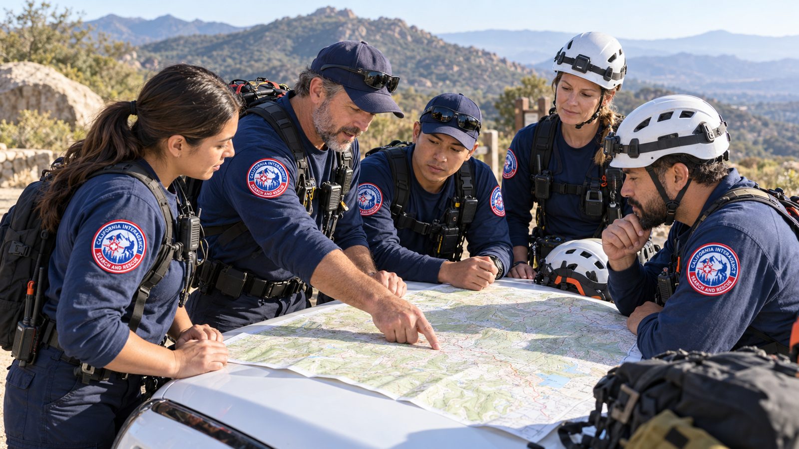
Our Team
Our members bring extensive training in search techniques, rescue operations, the incident command system and agency protocols. Every member is advanced-first-aid trained, many are EMTs, and the team keeps learning from outside experts.
Get in Touch →CAISAR Team App
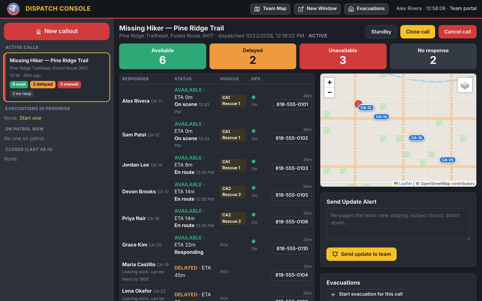
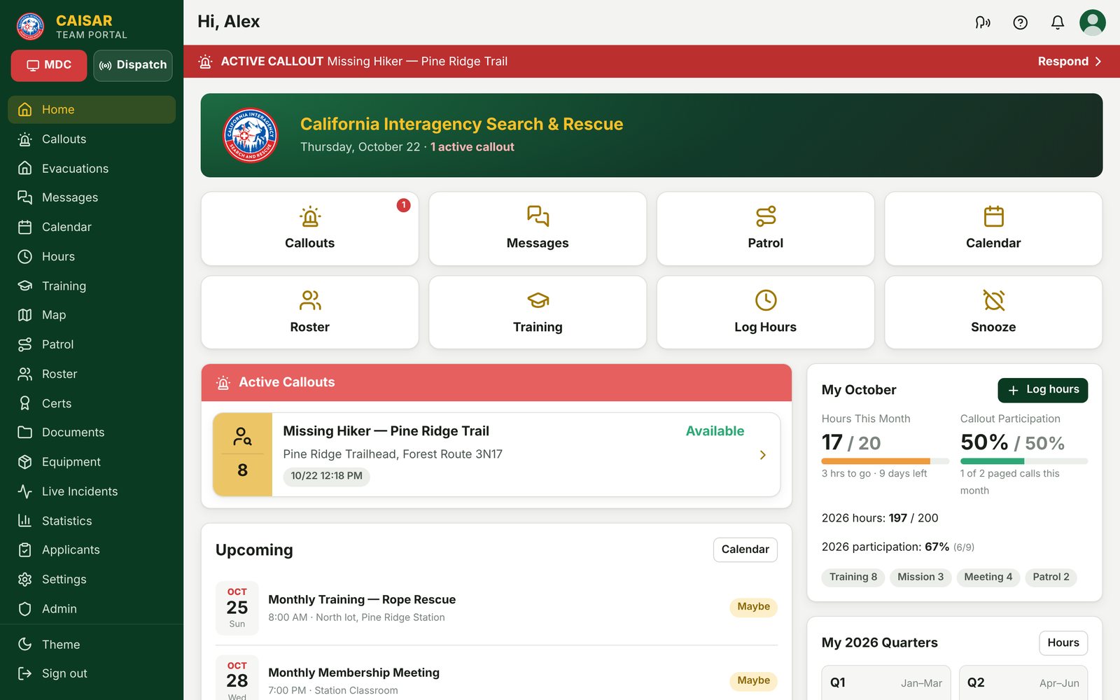
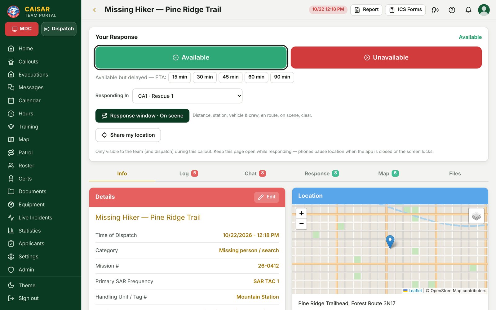
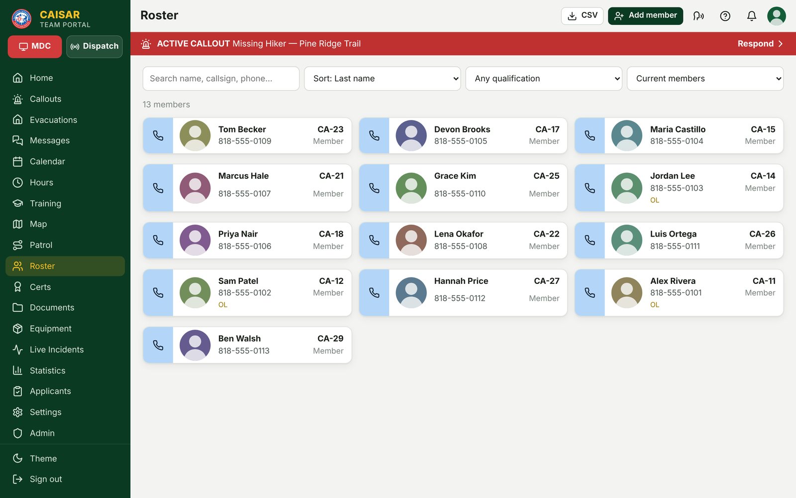
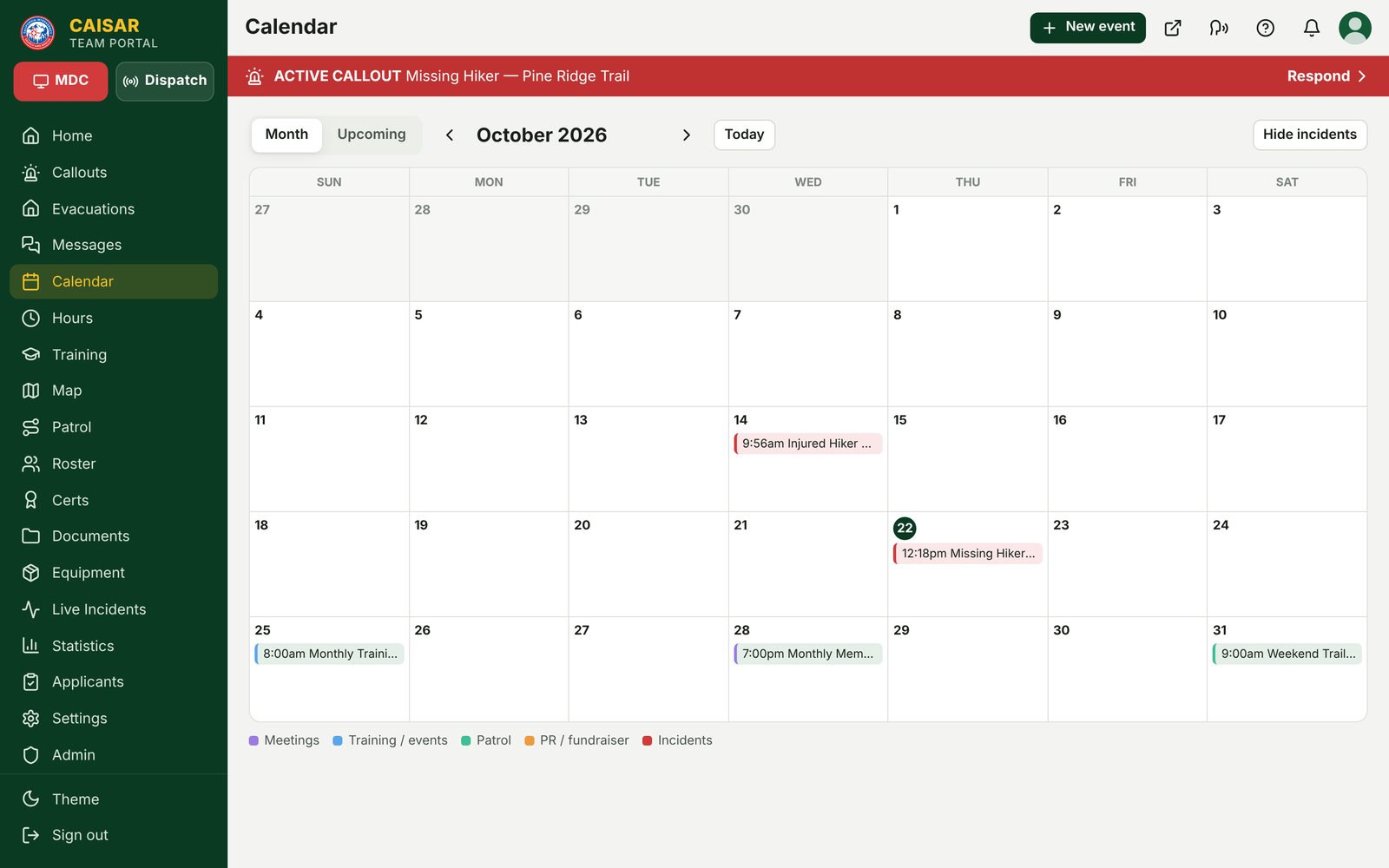
Everything a volunteer search & rescue team runs on — callouts, dispatch, live GPS, chat, calendar, hours, certifications, gear and training — in one app our own members use on every call.
Native apps for iPhone and Android, with callout alerts that respond from the lock screen.
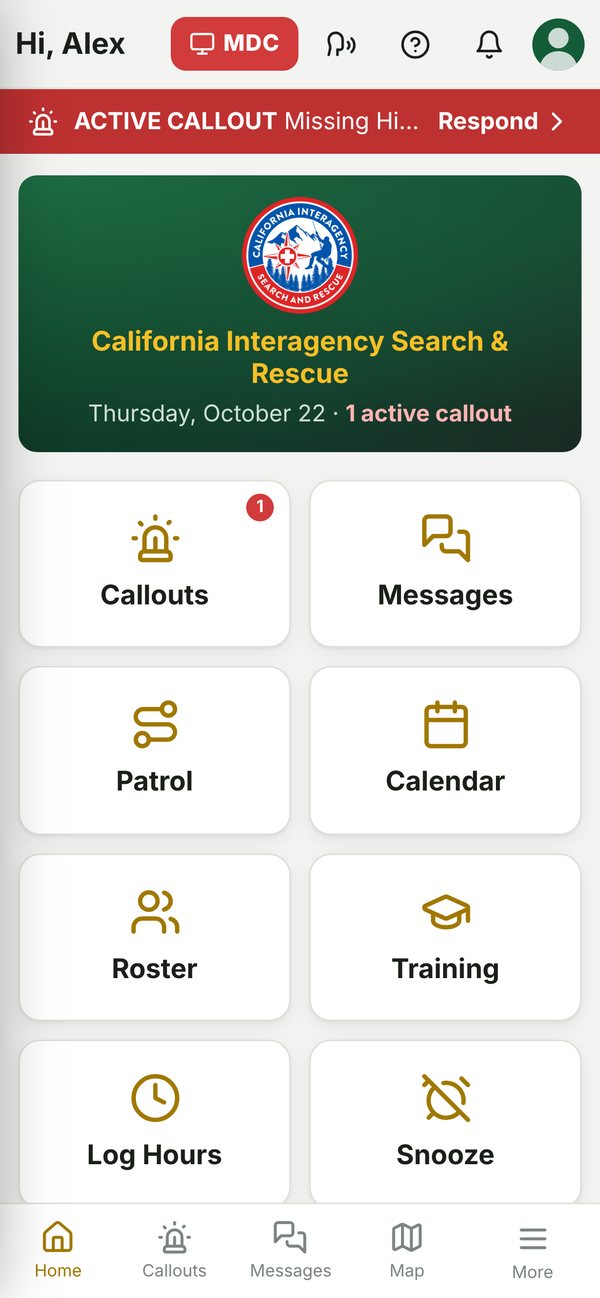
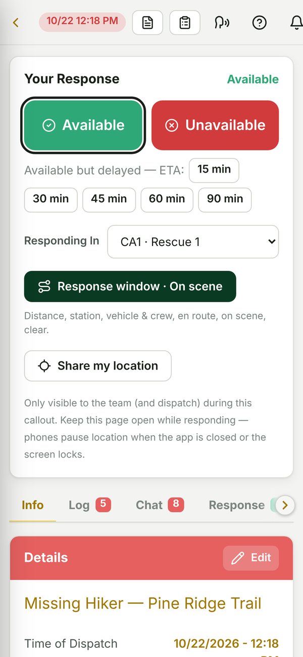
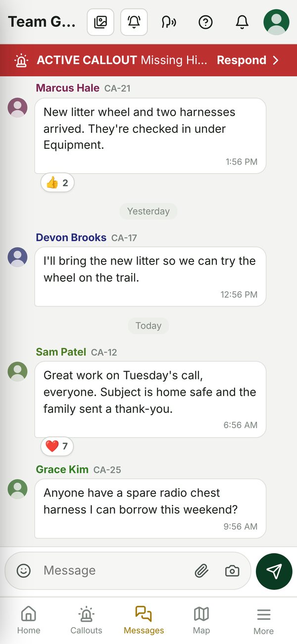
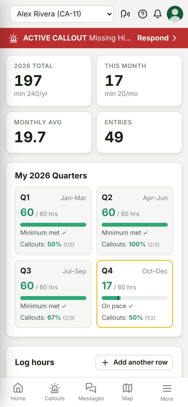
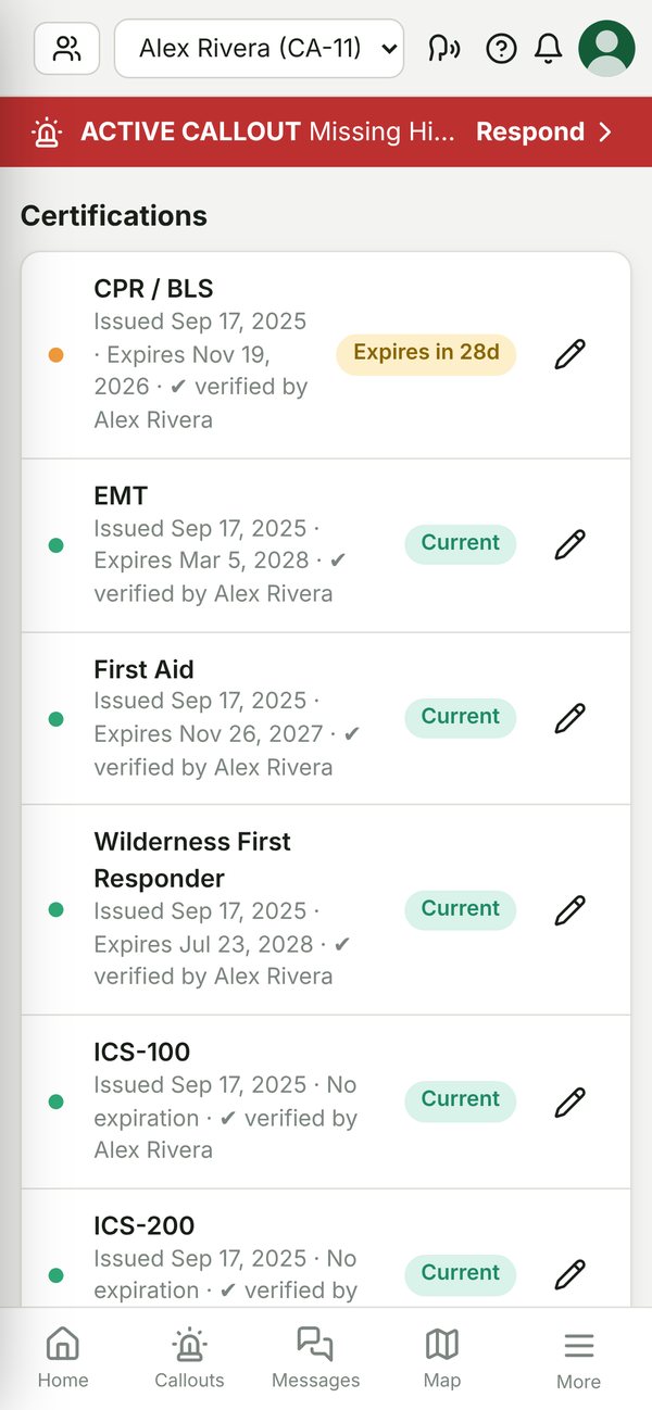
Screens from a demo team. All names, phone numbers and incidents are fictional.
CAISAR Live Map
A free public map and 3D globe we built for up-to-date information worldwide: weather alerts, wildfires, earthquakes, floods, road closures, air quality, infrastructure and world events, refreshed from official sources as they publish.
Have kids? Try the kid-friendly CAISAR Explorer.
Part of the Live Map · New for Kids
Spin a live 3D Earth, watch the International Space Station and satellites go by, see where earthquakes and hurricanes are happening, peek through live cameras around the world, and learn facts about every country. No news, no scary headlines, no sign-up.
Free, no sign-in, no accounts or personal data.
It installs as its own app, called “Explorer.”
For Parents and Teachers
Explorer uses the same official live data as the Live Map (USGS, NOAA, NASA, the World Bank and others). It never shows protests, conflict, military, crime, news, travel advisories or AI briefs, and the server enforces that. Natural hazards like earthquakes, storms and wildfires are shown factually.
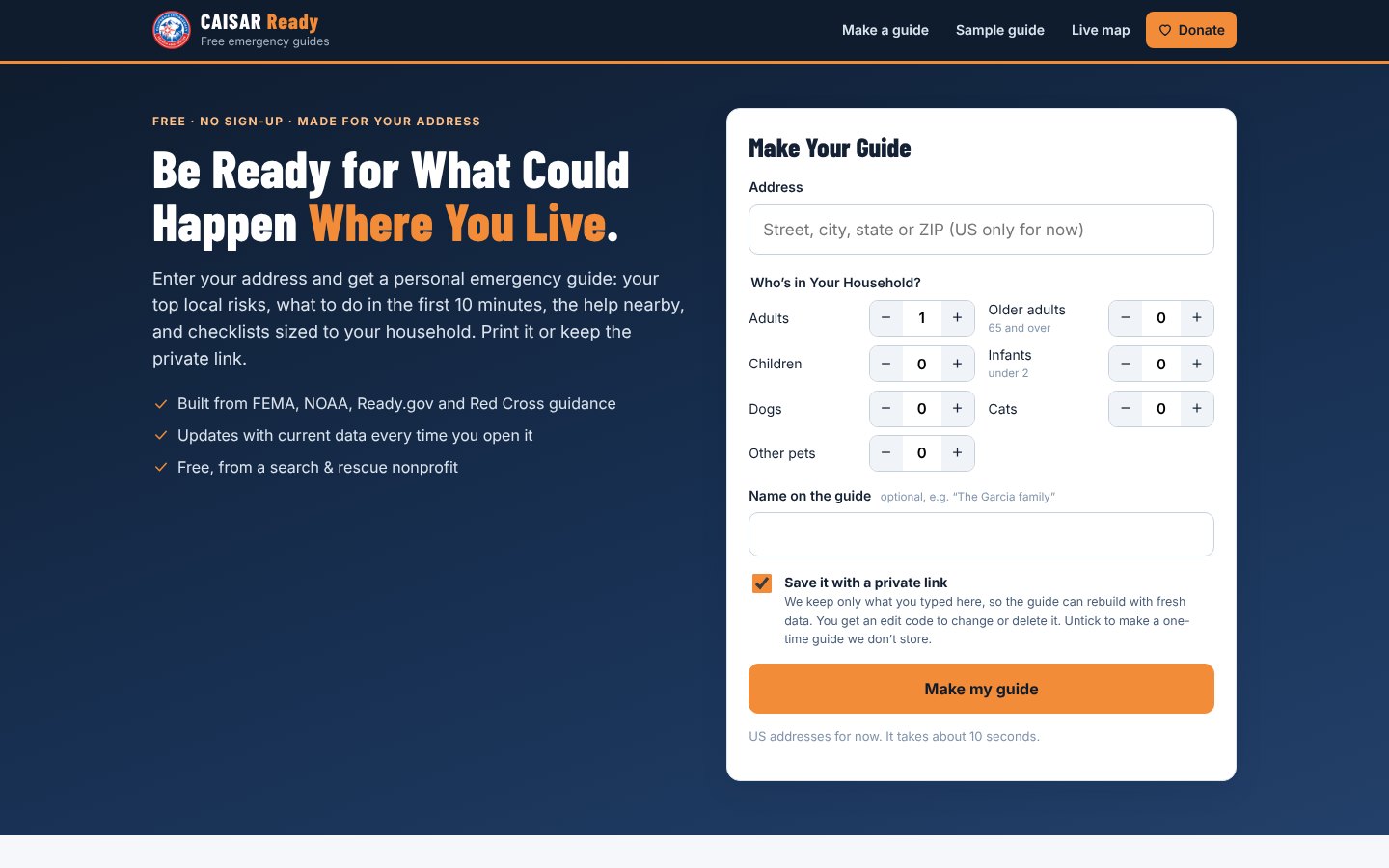
New · CAISAR Ready
Enter your address and who lives with you, and get your top local risks, what to do in the first 10 minutes, the help nearby, and checklists sized to your household. Print it, or keep a private link that always shows current data.
New: guides now list your local police, fire and EMS dispatch channels (from RadioReference.com, with permission).
Free, no sign-up. Nothing is stored unless you choose to save your guide.
Agencies call on us, but none of them pay for us. Every deployment, every piece of gear is possible because of supporters like you.